Igor V. Zhurbin
Physical Technical Institute of the Ural Branch of R AS, Izhevsk, Russia
E-mail: zhurbin@udm.ru
Keywords: the Middle Ages, Polom, Cheptsa, the Polom and the Cheptsa cultures, settlements, border of the monument, layout, resistivity survey, magnetometer survey, ground-penetrating radar, electrical resistivity tomography.
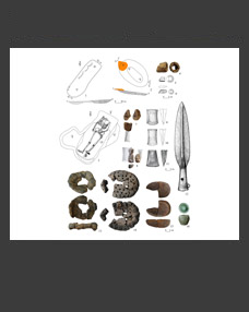
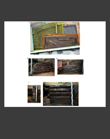
On the territory of Cis-Urals, the upper and middle reaches of the Cheptsa river is a region saturated with sites of related Finno-Ugric cultures: the Polom (the 5th – the beginning of the 9th century AD) and the Cheptsa (the late 9th – the 13th century AD). The goal of the interdisciplinary research was to develop a methodology for their study adapted to the conditions of the region and based on the integrated application of near surface geophysics and targeted excavations. In regional archaeological research, this approach ensures the coordination of measures for the preservation and study of archaeological heritage. Testing it on six fortified and four unfortified settlements in the region allowed defining the site boundaries, identifying previously unknown lines of fortifications, as well as restoring the layout and determining the peculiarities of buildings in various structural parts of the settlements. In most cases, the entire territory of the sites and the adjacent “background” areas were surveyed; geophysical data were confirmed by excavations. It is shown that maximum efficiency is achieved by a combined analysis of the results of resistivity survey, magnetometer survey, GPR and electrical resistivity tomography.
DOI: 10.31857/S086960630005673-9


